Crime analysis is a critical aspect of law enforcement that involves the study of criminal patterns and trends to identify potential risks and develop effective crime-fighting strategies. The process has since evolved and consists of collecting and analyzing data from various sources, including police reports, crime statistics, and other relevant information. By understanding the nature and frequency of crimes in a given area, crime analysts can help law enforcement agencies better target their resources and reduce the overall level of crime in a community.
However, this is only possible with modern technology, such as GIS mapping. So, what does GIS look like in practice? Below, we explore this relationship in further detail.
What is GIS mapping technology?
GIS (Geographic Information Systems) mapping technology is a way to represent and analyze geographic information digitally. It combines various types of data, including maps, satellite imagery, and demographic information, and allows users to analyze and visualize it in various ways.
How GIS mapping technology applies in crime analysis
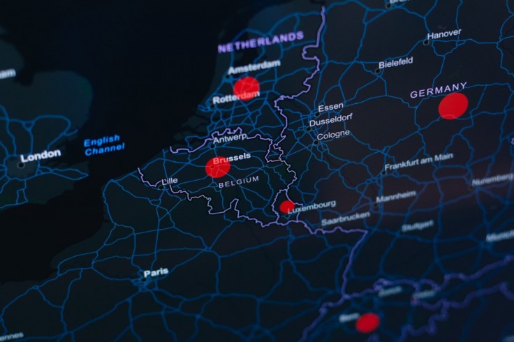
GIS allows analysts to map crime data visually, making it easier to identify patterns and hotspots. For example, GIS mapping software can show where crimes are occurring, when, and the types of crimes most prevalent in a particular area. GIS mapping technology also enables crime analysts to create interactive maps that can be easily shared and analyzed by other members of the law enforcement community, allowing for more effective collaboration and decision-making.
With GIS, crime analysts can also overlay demographic data, such as population density, income levels, and other crime-related factors. These data points allow analysts to gain a complete understanding of crime patterns and to develop more targeted and effective crime-fighting strategies. Analysts also use GIS mapping technology to analyze crime data over time, making it possible to track changes in crime patterns and identify trends that may indicate an emerging problem.
The same GIS technology enables analysts to determine the effectiveness of police patrols and adjust deployment strategies. With the ability to layer different data sets, crime analysts can comprehensively understand crime patterns and make informed decisions to reduce crime and improve public safety.
Challenges of GIS mapping technology
Despite the wide functionality of GIS, the technology has its limitations. For example, in crime analysis, analysts are limited by the quality and availability of data since GIS is only effective if it has accurate and comprehensive data. However, crime data can be difficult to come by and may only sometimes be reliable. In many cases, crime data may be incomplete or inconsistent due to underreporting or lack of standardization in data collection. Additionally, there may be limitations in the types of data that can be analyzed using GIS, such as unstructured data like social media posts.
Another challenge of using GIS in crime analysis is privacy concerns. GIS maps and analyses often involve personal information, such as addresses and demographic data. Using personal information can raise concerns about individuals' privacy and ability to control their personal information use. Additionally, GIS technology may be restricted for use by certain organizations or agencies due to privacy concerns, making it less accessible for some users. There are also limitations in GIS to protect the data from unauthorized access and the privacy of individuals.
The implementation
Taken together, GIS mapping technology is a powerful tool for crime analysts in law enforcement. It allows for the visualization of crime data on a map, providing a clear picture of crime patterns and hotspots in a specific area, making it crucial for law enforcement agencies to effectively make informed decisions and allocate resources.
Organizations need to consider implementing GIS mapping technology in their operations. Not only does it aid in crime analysis, but it also has the potential for proactive crime prevention and community policing. By utilizing GIS mapping technology, organizations can make data-driven decisions and improve the safety and security of their community.


